By Matthew Bray, CEO of SatSense
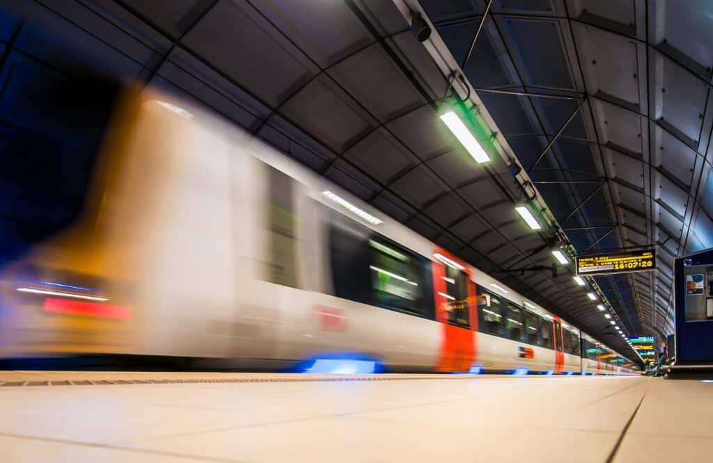
With the last year seeing passenger numbers at their lowest levels since at least 1872, it’s fair to say it’s been a strange year on Great Britain’s railway. Data from the Office of Rail and Road (ORR) shows that just 388 million journeys were made in the 12 months to the end of March. But despite the pandemic causing a temporary collapse in the demand for rail travel, it’s been business as usual in terms of maintenance of the network.
Reactivity vs proactivity
Risks which could result in an incident or train derailing, including ground movement, weather conditions and other natural hazards, such as overgrown vegetation and flooding, all have to be carefully monitored. Side embankments are particularly prone to landslides and have to be checked frequently.
Current methods for doing this however are labour-intensive and expensive – it’s very much still a manual process, with checks of the track and surrounding land taking place on a monthly or quarterly basis depending on the risk level. According to a report from the European Commission, around a third of operating budgets are spent on this kind of work, and in many cases, it’s carried out on a reactive basis. But could implementing new technologies and harnessing the power of data help reduce the overall cost of maintenance – and improve outcomes?
Combatting the effects of climate change
In early 2020, during the fifth warmest winter on record in the UK, there were six incidents in just six weeks in the Kent and East Sussex region alone, with one closing part of the line for almost three months. If the trend of having a warmer, wetter climate in this part of the world continues, being able to predict changes in ground conditions will become key to preventing incidents and keeping the network moving.
Innovations in satellite monitoring means there is now the potential to monitor the whole of the network in real-time – which could be a game-changer when it comes to managing the effects of climate change on infrastructure.
InSAR – or ‘interferometric synthetic aperture radar’ – is increasingly being used by geotechnical engineers across different kinds of infrastructure, including highways and construction. It’s a highly effective way to measure changes in land surface altitude.
Imagery is produced by illuminating a target area using radar and recording the reflected signal. This means the technique can work in any weather condition, night or day. It is an accurate way of detecting ground movements and can be scaled anywhere from single pixels (typically 3m x 3m or 4m x 14m) to entire countries.
Innovation in hazard management
This isn’t a new technology – it’s in fact been around since the 1990s, and has transformed scientists’ understanding of everything from the planet’s tectonic fault lines to volcano activity. However, in today’s world, it’s increasingly being used for hazard management due to its accuracy, cost-effectiveness and remote reporting frequency.
The algorithms identify any unusual activity and create alerts for further investigation. The high-quality data which can be gleaned from the technology means that potentially damaging movements in the ground can be spotted and remedied before a safety issue occurs. By embracing advancements in these kinds of remote monitoring technologies and shifting to preventative rather than reactive processes, railway owners may not only save millions in repair works and keep rail rolling but save lives in the process.
About SatSense
SatSense deliver precise and up-to-date deformation monitoring services using data from satellite radar. SatSense’s algorithms convert satellite data from Sentinel-1 and other satellites into datasets that provide accurate data on ground movements such as subsidence.

Photo credit: SatSense


 0113 2082620
 info@railbusinessdaily.com
 15 Mariner Court, Wakefield WF4 3FL

